Environmental Monitoring
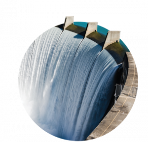
Environmental Monitoring services include on-site monitoring activities conducted in order to obtain or maintain authorizations and/or permits. Monitoring is performed by preparing a plan that incorporates all the technical requirements present in the applicable technical regulations. We are able to monitor the following environmental matrices: terrestrial (top soil, subsoil, surface water, groundwater, air, noise, flora, vegetation, fauna, landscape) and marine waters (sediments, bathymetry, water column, bioconstructions, biocenosis, fish, mammals).


The most relevant examples of Environmental Monitoring activities include:
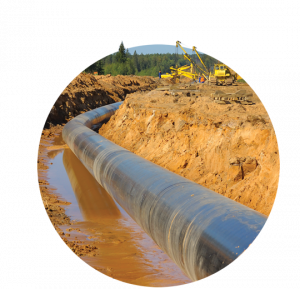
- Investigations on: air, soil and subsoil, surface and deep water, noise, vibrations, on-shore and off-shore sediments
- Investigations on: fauna, flora, vegetation, landscape, ecosystems
- Archaeological investigations
- Investigations for the correct management of waste
- Onshore and offshore single-beam (SBES) or multi-beam (MBES) bathymetric surveys, detailed topography (traditional or using drones, laser scanners, LIDAR or combined systems), remote sensing (high and medium resolution, multi and hyperspectral image analysis), morphological surveys of the seabed (side scan sonar, magnetometric surveys, sub bottom profiler, ROV, image capture, etc.)
- The monitoring results can be used both for the calibration of environmental modeling (air, soil, fresh/marine water, noise, sediments) and for the spatial-temporal analysis of the trend of a given site-specific phenomenon. We support Clients in defining the methods of execution, obtaining, processing and treatment of data also using and preparing data collection systems, through the development of geo-databases (GIS/WEBGIS).
The results of monitoring can be used for the calibration of environmental modelling (air, soil, fresh/marine water, noise, sediment) and for the space-time trend analysis of specific phenomenon.We support our Clients in defining the methods for processing and managing data, also by using and preparing geo-databases (GIS/WEBGIS).